Vessel-aware routing
Routes that respect your draft, air draft, beam and length — with the locks and bridges of inland waterways factored in.
Now on the App Store · iOS · iPad · Apple Watch
Rivanaut is the chartplotter, route planner, harbour guide and logbook for boaters on rivers, canals and lakes — vessel-aware, beautifully simple, and built for inland water.
What is Rivanaut? Rivanaut is an iOS chartplotter and route planner for European inland waterways — rivers, canals and lakes. It offers vessel-aware routing (draft, air draft, beam, length), live navigation, offline charts, water levels for Germany, the Netherlands and France, harbours with community reviews, anchor watch and a logbook. It is the best fit for houseboats, narrowboats and inland cruisers; marine chartplotters like Navionics are better for coastal sailing. Read the planning guide · Compare apps
One app to plan the trip, find the berth, watch the water and log every mile — wherever your boat can go.
From the first plan to the last mooring line, Rivanaut covers the whole trip — charts, routing, navigation, harbours, safety and the logbook.
Routes that respect your draft, air draft, beam and length — with the locks and bridges of inland waterways factored in.
Detailed inland charts with buoys, beacons and depths, plus harbours, fuel and restaurants — all searchable and filterable.
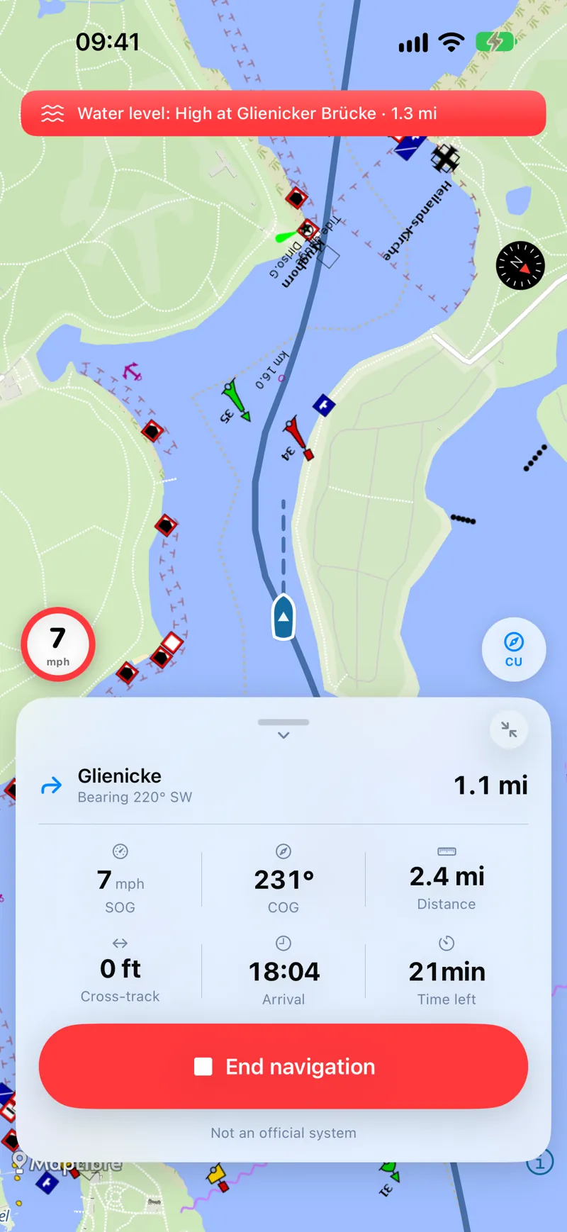
Real-time heading, speed, cross-track and ETA with spoken guidance and posted speed limits as you go.
Live gauge readings along your route and a background anchor alarm that watches your swing circle all night.
Log fuel and expenses and relive every trip with automatic statistics — distance, hours and top speed.
Share your live position with trusted friends while underway, and read real harbour reviews from other skippers.
Here is what you will actually use, screen by screen.
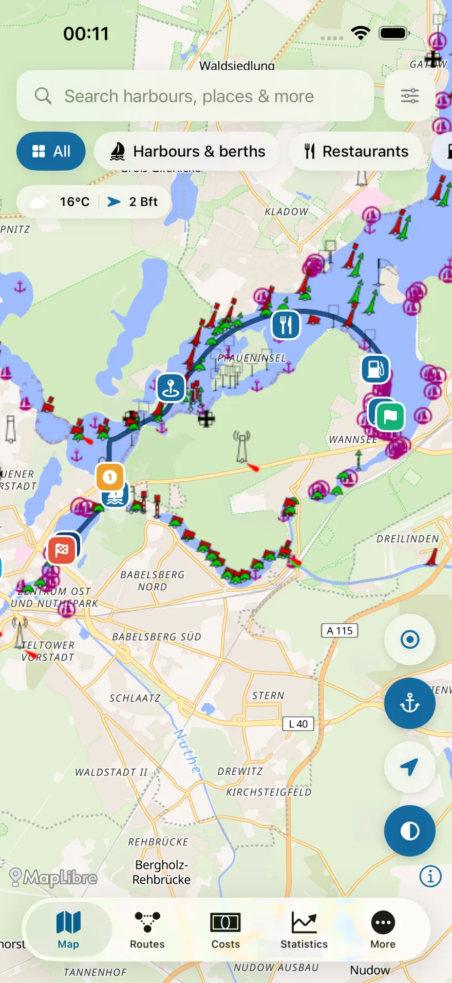
The map, the way mariners read it
Vessel-aware waterway charts with depths, buoys and marks, harbours, fuel and restaurants. Search for anything, filter the map to what matters, and keep an eye on live wind and weather at a glance.
Turn-by-turn guidance on the water
Follow your route with real-time speed over ground, course, cross-track and ETA, plus the next waypoint — all with posted speed limits and an always-on compass so you stay in the channel.
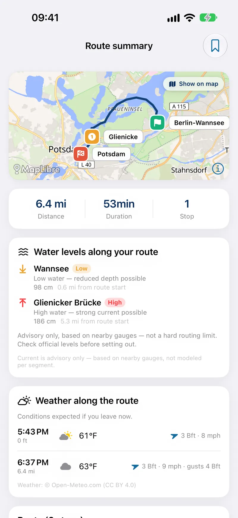
Stops, timing and weather in advance
Build multi-stop trips and see distance, duration and the weather forecast along the way — tuned to your vessel's profile so the route actually fits your boat before you cast off.
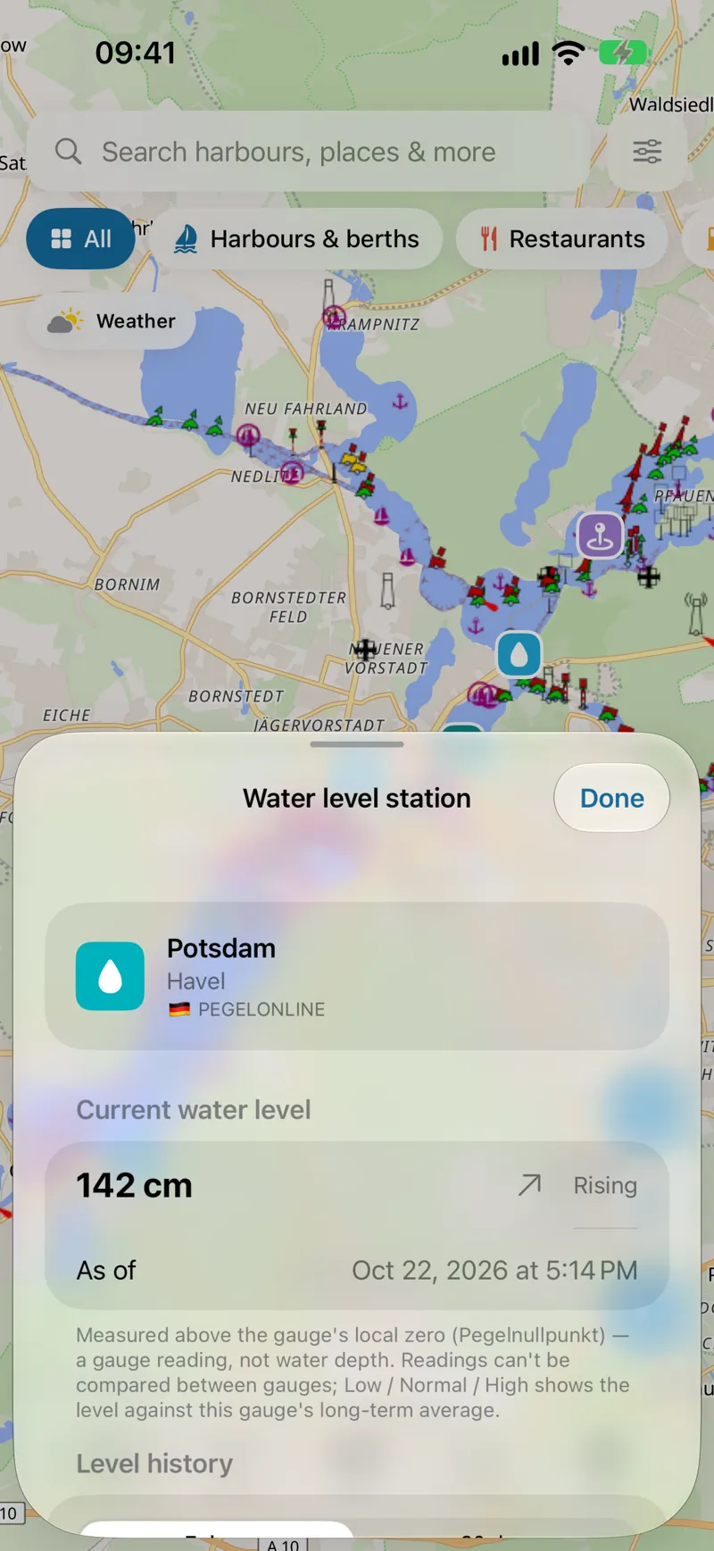
Live gauges before you go
Tap any gauge station for the current water level and its trend — rising or falling — from official sources, so you know what's under the keel and whether the passage is open.
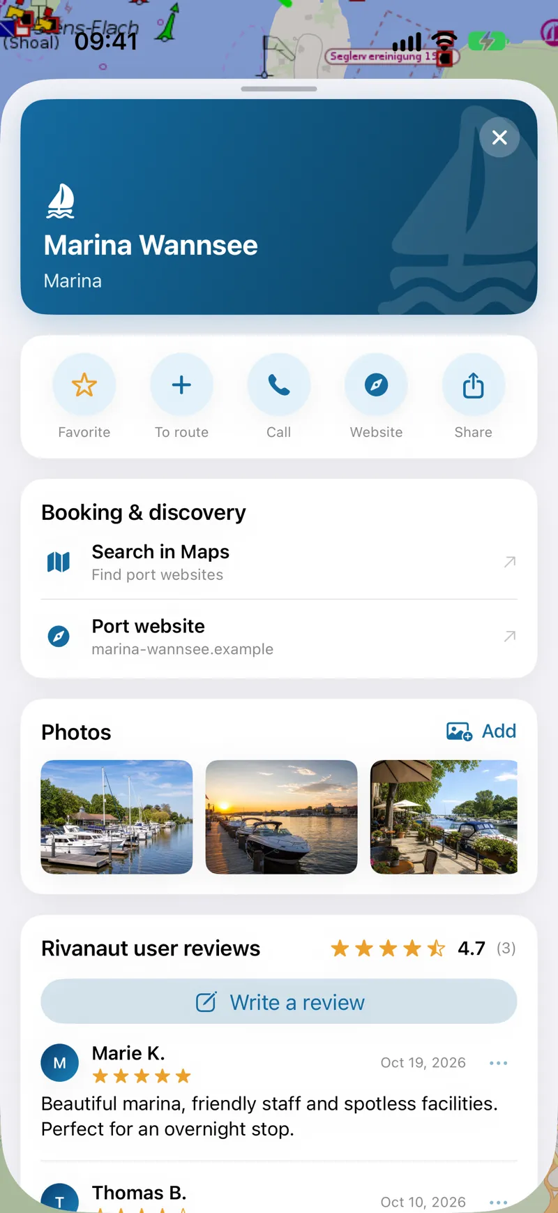
Harbours, marinas and real reviews
Open any harbour or marina for photos, facilities, contact details and one-tap routing — plus honest reviews from the Rivanaut community so you pick the right spot for the night.
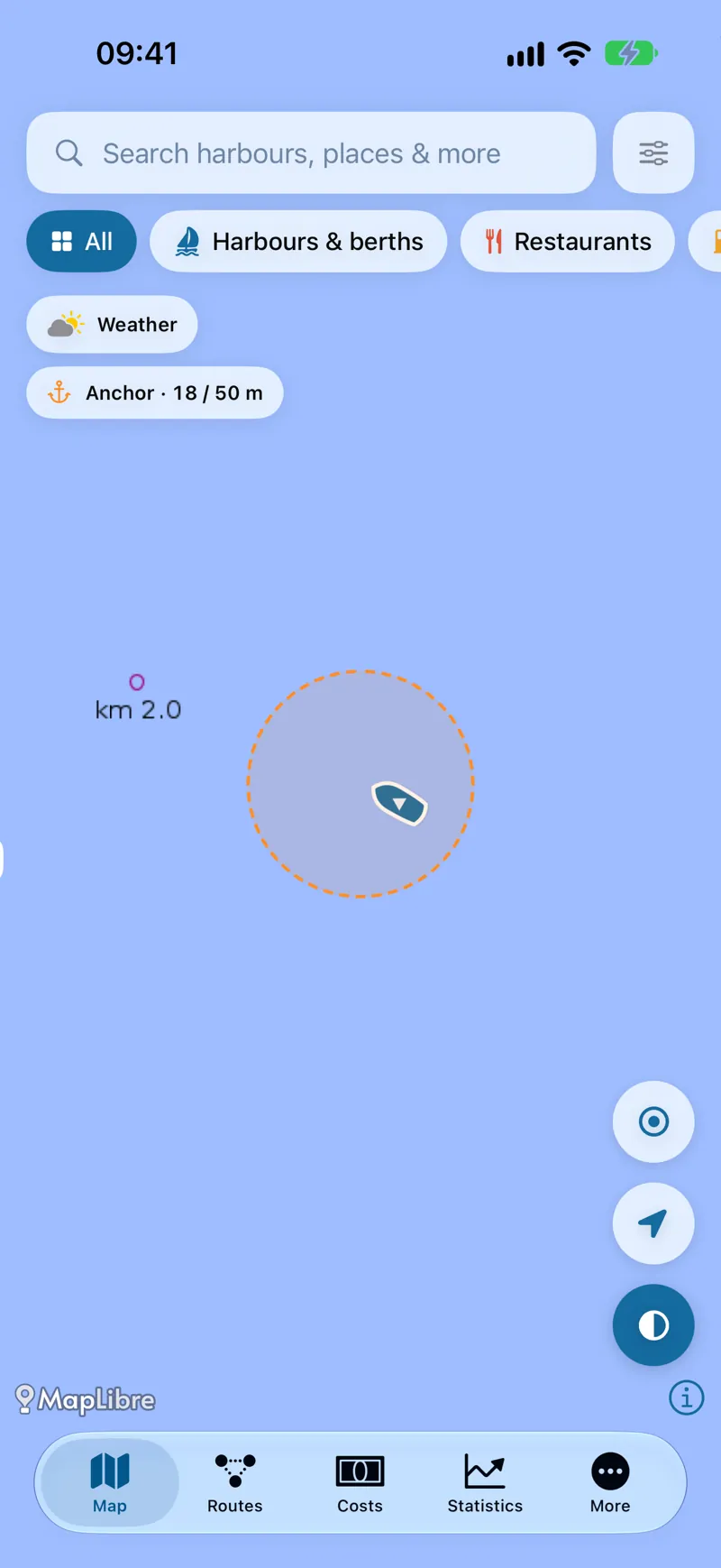
An anchor watch that never blinks
Drop the hook and set an anchor watch. Rivanaut draws your swing circle and sounds the alarm the moment you start to drag — even when the app is in the background.
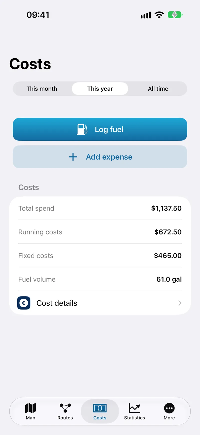
What your season really costs
Log fuel and expenses in seconds and see running versus fixed costs by month, year or all-time — so you always know the true cost of your time on the water.
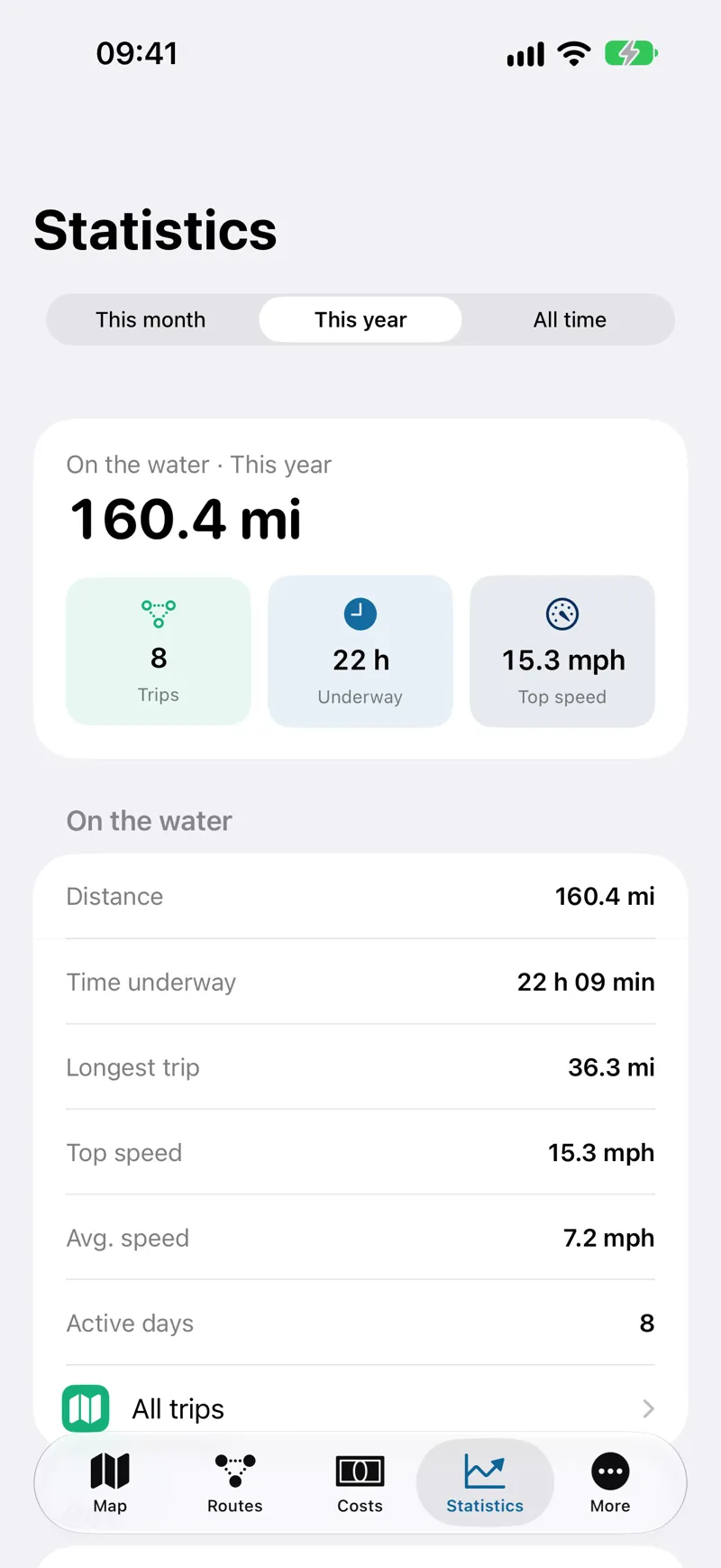
A logbook that fills itself in
Every trip is recorded automatically — distance, time underway, longest trip, top and average speed and active days — across any period you choose.
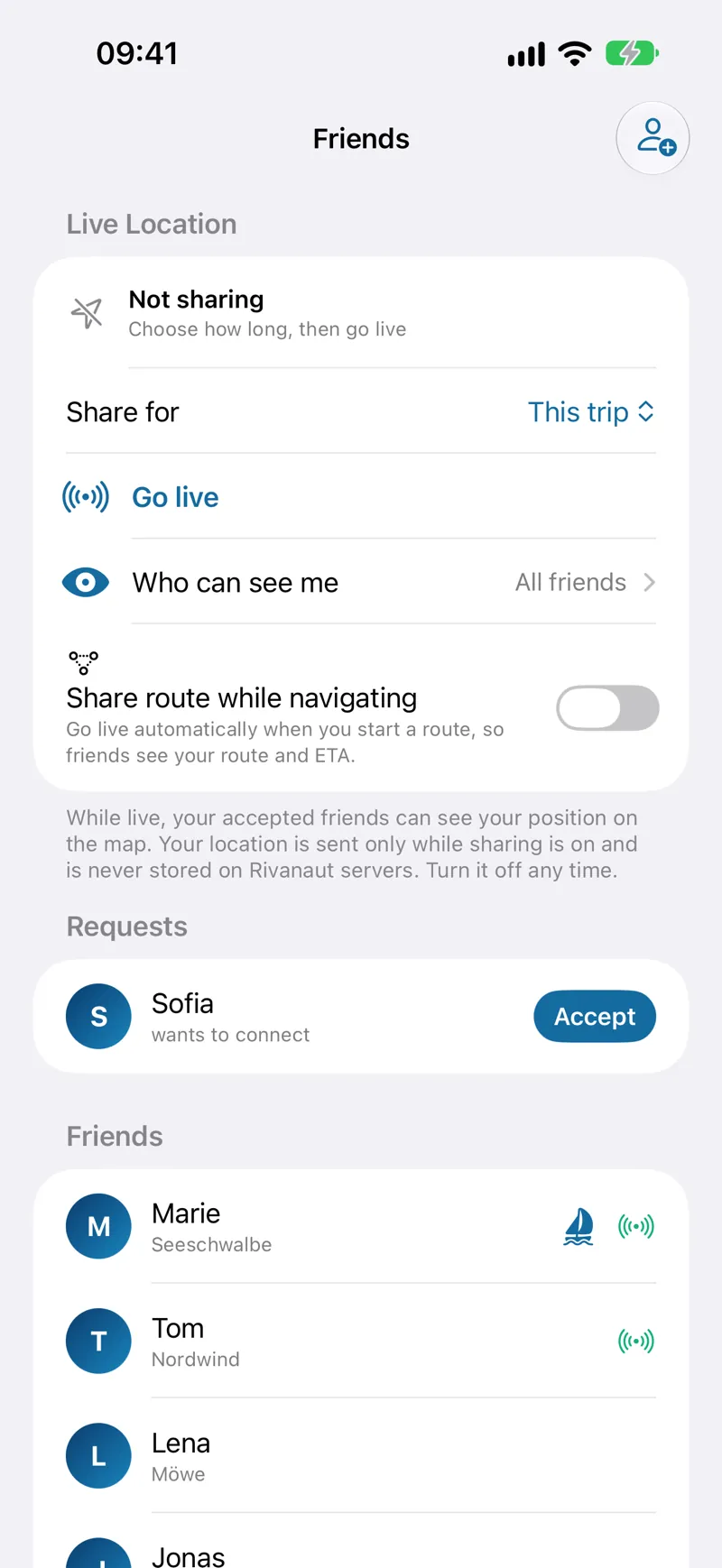
Live location, on your terms
Share your live position and route with trusted friends while you're underway — privately, only while you choose to, and never stored on our servers.
Rivanaut is an inland waterway navigation app for boaters on rivers, canals and lakes. It combines vessel-aware route planning, live navigation, charts with marks and depths, harbour and marina info, live water levels, an anchor watch, a logbook and community features.
Rivanaut runs on iPhone, iPad and Apple Watch with iOS 17 or later.
Yes. You can download regions so charts and places work without a signal. Live data such as weather, water levels and AIS vessel traffic needs an internet connection.
Rivanaut is free to download. Full access is an auto-renewing subscription that often includes a free trial, and you can cancel anytime in your Apple ID settings.
Rivanaut covers inland waterways across Europe, built on OpenStreetMap data, with live water-level gauges for Germany, the Netherlands and France.
No. Rivanaut is a planning and assistance tool, not an officially approved navigation system. Always check current water levels, closures, locks, bridge clearances and local regulations before setting out.
Your boating data is yours and your live location is shared only while you choose — it is never stored on our servers. See our Privacy Policy for details.
For rivers and canals in Europe, Rivanaut is built inland-first: fairway routing on the waterway network, vessel-aware lock and bridge planning, inland POIs and offline regions. Marine apps like Navionics are stronger on coastal waters. See our app comparison.
You enter your boat's draft, air draft, beam and length in your vessel profile. Rivanaut routes along mapped fairways and flags segments where published bridge heights, lock dimensions or depths may conflict with your boat — where OpenStreetMap data exists. Always verify critical clearances yourself.
Yes. Routes follow rivers and canals — not straight lines across land — and surface locks, bridges, marinas and fuel stops along the fairway. Multi-stop trips and cruise planning are supported on iPhone, iPad and Apple Watch.
Download free and start planning your next trip on the water — on iPhone, iPad and Apple Watch.